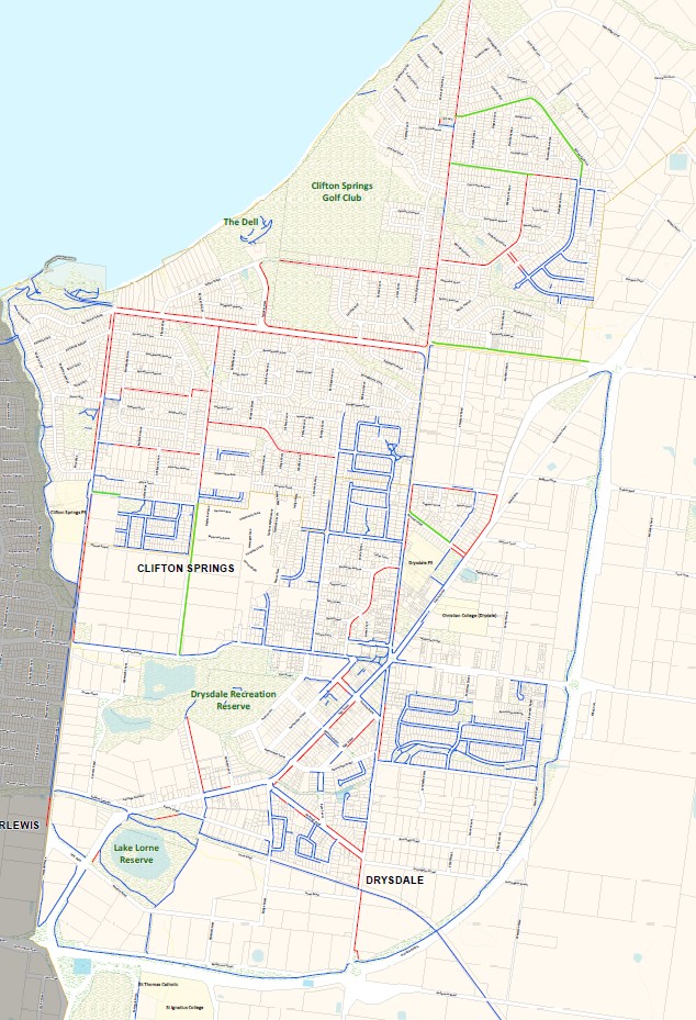
Thank you to all residents who participated in the recent consultation regarding the proposed footpath network in Clifton Springs and Drysdale

We regularly hear from the community expressing their concerns for pedestrians who are required to walk on the roads around Drysdale and Clifton Springs due to a lack of footpaths.

We are now inviting residents to complete a second survey to understand the level of support for constructing a footpath network. Since an initial survey was distributed in mid-2025, we have clearly defined the footpath network and estimated likely construction costs. We understand this additional information may be helpful for residents to better understand the proposal and whether they support it.

Survey results received:

The survey results from mid-2025 showed that while a majority of respondents (51%) supported the concept of a footpath network, only 29% supported proceeding under a Special Rate and Charge scheme. This level of support is not sufficient to move forward with the scheme at this time.

We understand that some residents were hesitant to vote due to the lack of cost information, however, it's important to note that the primary objective of the initial stage was to define the footpath network.

Funding

With municipal rates funding the maintenance of existing infrastructure and services, the City traditionally relies on developers, State and Federal Government to deliver new road infrastructure, including footpaths. If we are to deliver a footpath network for the Drysdale and Clifton Springs community, we would need the community to contribute to the cost through a future Special Charge Scheme (SRC).

Our SRC schemes use joint financial contributions from property owners and the City to provide infrastructure or services that are of special benefit to a group of property owners.

Currently, this footpath network is not included in the City’s capital works program. It will only be considered for future construction if there is demonstrated community support through a Special Rate and Charge scheme.

Next Step:

Following further discussions with the Leopold and Murradoc Ward Councillors, now that the network has been clearly defined, and with a majority of support shown for the proposed footpath network, we have reviewed current construction costs and are now asking residents to vote again.

We propose that if the scheme proceeds under a future Special Charge scheme arrangement, an estimated contribution of around $1000 per property (based on an equal share approach) is likely to be required.

Please note: under the equal share model, the footpath network is considered a neighbourhood benefit for both Drysdale and Clifton Springs. This means all property owners would contribute, regardless of whether a footpath is built directly outside their property or already exists.

The purpose of this survey is to understand from property owners if there is enough support for the proposed upgrade to proceed under an SRC in the future. We will be in contact with you again after the survey has closed to inform you of the outcome.

If most property owners are supportive, we will seek to prepare the designs which will enable us to gauge more accurate costs. We will undertake further engagement with property owners at that stage, and you will have another opportunity to share feedback with us at that time.

An updated map of the proposed footpath network is provided below to show how the new paths would connect with the existing network. It reflects the removal of Clifton Street and the addition of:

  • Ada Street
  • Bennet Street
  • Central Road
  • Dandarigga Drive
  • Thambalina Road

To view a larger map, you can visit the Drysdale Library or the Springdale Neighbourhood Centre (17-21 High Street, Drysdale).

We invite you to join the conversation by taking the short survey below. This will enable us to:

  • understand if you support the footpath network;
  • let us know if you will be likely to support a footpath network in Drysdale/Clifton Springs as a cost sharing arrangement in the future.

Please note that this survey closes at 5pm on Friday 12 December 2025.

Map of proposed footpath network

Proposed footpaths are highlighted in red

Existing footpaths are highlighted in blue

Additional footpaths are highlighted in green.

HAVE YOUR SAY!

Your feedback is important to us. Choose your preferred method for providing feedback below: